Priority Areas
Communities are protecting Lake Huron with best management practices and projects along the entire southeast shoreline.
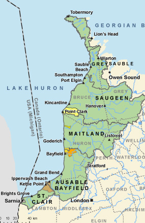
These positive actions are taking place in many lakeshore and inland watersheds of the St. Clair Region, Ausable Bayfield, Maitland Valley, Saugeen Valley, Grey Sauble, and Bruce Peninsula areas.
There are six identified key watersheds – ‘beacon’ or ‘sentinel’ or 'priority' areas – that have been designated for long-term monitoring (of water quality, water quantity, and weather), research, and project implementation and evaluation.
The lessons learned in these six designated watershed study areas provide valuable knowledge about projects that can be implemented along the entire southeast shoreline.
The six areas are:
- Bayfield North Watersheds
- Lambton Shores Watershed
- Main Bayfield Watershed
- Garvey-Glenn
- Pine River
- Bruce Peninsula
-
_3.jpg)
Bayfield North
The Bayfield North Watersheds area is approximately 40 square kilometres in size and consists of 20 small streams flowing directly into Lake Huron. The watershed is located within the County of Huron.
-

Lambton Shores
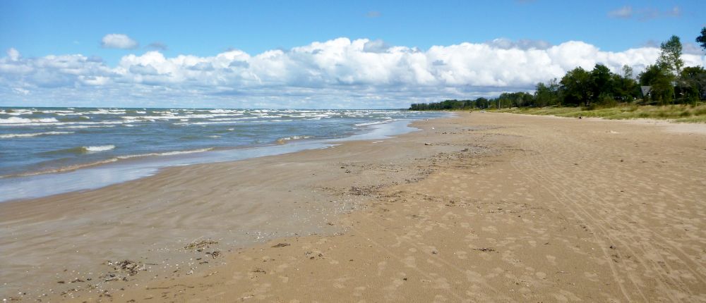
Lambton Shores Watershed is 127 square kilometres and includes provincially significant wetlands and woodlands as well as unique shoreline features. Creeks include Duffus Creek, Shashawandah Creek, James Creek and Woods Creek.
-
_7.jpg)
Main Bayfield
The Bayfield River drains 497 square kilometres in southwestern Ontario. The river and local beaches provide the community with great swimming, boating and fishing opportunities.
-

Garvey-Glenn
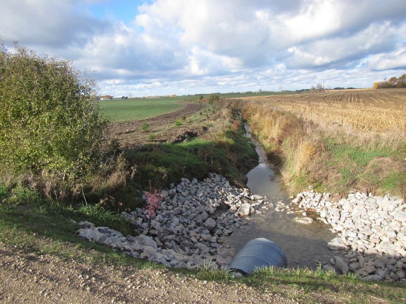
The Garvey-Glenn drains 17.5 square kilometres of farmland and empties directly into Lake Huron, just North of Port Albert.
-
.jpg)
Pine River
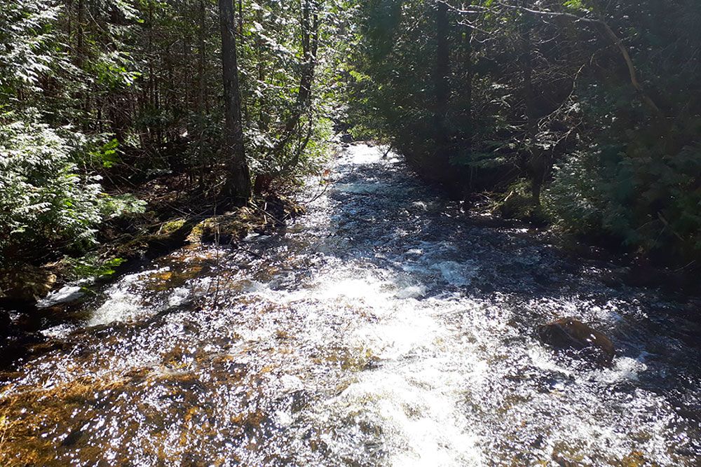
The Pine River covers 195 square kilometres and enters Lake Huron at Point Clark. The Pine River sub-watershed is located in Bruce County, Township of Huron-Kinloss and includes the Village of Ripley.
-

Six Streams Initiative
The Bruce Peninsula Biosphere Association (BPBA) recognizes water quality is fundamental to ecological and human health, and it is a necessary foundation for our region’s economic prosperity.

